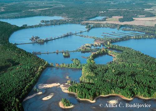
Třeboň Protected Landscape area
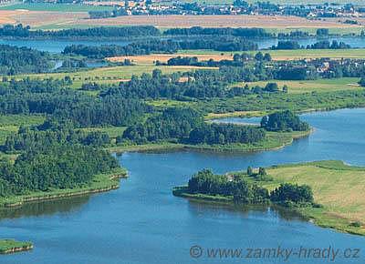
The reserve covers the area of about 700 km2. Its core is formed by a flat basin bordered,
especially on its eastern side, by a hilly landscape formed of volcanic rock. The altitude of the
basin is about 430 m ASL, the highest point reaching 550 m ASL. Less then half of the region is
covered with forests which have for the most part been cultivated, and are now interspersed with
only a few original stands.
A small portion - about one tenth - of the region consists of varied
bodies of water, such as fishponds, rivers, streams and canals. The rest shows signs of intensive
human activity: fields, hay meadows, roads, and human settlements. In 1978 the area's historical
core was proclaimed a Municipal reserve. A year later, the wide surroundings of Třeboň were
designated as the Protected Landscape area - Třeboň Region and the Biospherical Reserve UNESCO.